Today is a great day!

Advanced technology for agricultural monitoring

Real-time information for smart decisions

Artifields IoT Monitoring System

Advanced technology for smarter agricultural decisions

At Artifields, we’ve developed a comprehensive IoT monitoring system that enables producers and agricultural advisors to make real-time, data-driven decisions

Weather Sensors

Compact weather stations measuring:

  • Temperature and humidity
  • Precipitation (tipping bucket)
  • Wind speed and direction
  • Solar radiation and atmospheric pressure

Soil Sensors

Multipoint sensors to monitor:

  • Soil moisture at different depths
  • Soil profile temperature
  • Electrical conductivity (optional)

IoT Connectivity

  • LoRaWAN transmission with ultra-low power consumption
  • Compatible with proprietary or third-party gateways
  • High energy autonomy with solar panel and built-in battery

Artifields Platform

  • Real-time visualization from any device
  • Custom alerts for humidity or weather conditions
  • Historical data and trend analysis
  • AI-powered recommendations for irrigation and planting

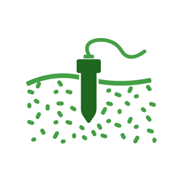
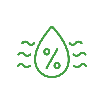
Improved water and fertilizer efficiency

Prevent crop loss due to climate stress

Operational savings through automated monitoring

Parcel-based digital traceability

Advanced Agricultural Monitoring with Multispectral Drones

Accurate detection of critical points for smart agronomic decisions

At Artifields, we complement our sensor system with cutting-edge aerial technology. We use multispectral drones equipped with artificial intelligence to automatically detect points of interest in crops, enabling farmers to take precise and timely action.

Plant Counting and Emergence

  • Identification of planting lines and emerged plants
  • Calculation of population density and empty spots
  • Ideal for validating sowing quality and making early decisions

Vegetation Vigor and Stress Assessment

  • NDVI, NDRE and other vegetation indices
  • Identification of water, nutrient or disease stress
  • Phenological tracking per plot or field

Weed Detection

  • AI-powered detection of weed patches
  • Classification by intensity and type
  • Variable rate herbicide application maps

Waterlogging and Drainage Issues

  •  Detection of water accumulation or compaction
  • Identification of microdepressions or flooding risk
  • Useful for drainage redesign or irrigation adjustments

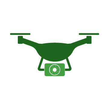
High-resolution multispectral cameras (RGB, NIR, RedEdge)

Proprietary algorithms and computer vision

Full crop visibility and early problem detection

Loss reduction due to timely information

Smart Crop Design with Aerial Topography

Optimizing farmland using contour lines and sowing path design

At Artifields, we transform how every square meter of land is designed and utilized. Using drones with high-precision cameras and specialized software, we perform detailed topographic surveys to design crops based on the actual terrain topography. This allows for more efficient, sustainable, and profitable agricultural practices.

Topographic surveys with drones

  • Aerial capture using RGB and GNSS cameras

  • Orthomosaics, point clouds, and digital elevation models (DEM)

  • Centimeter-level accuracy with control points and photogrammetry

Contour lines and terrain analysis

  • Automated contour calculation every 10, 20, or 50 cm
  • Slope, runoff, and critical area analysis
  • 2D and 3D visualizations for informed decisions

Sowing path and agricultural layout design

  • Planting lines aligned with contour curves or keylines
  • Optimized for RTK-guided tractors
  • Keyline design, terraces, or natural drainage

Export for machinery and platforms

  • Files in .KML, .SHP, .DXF, ISOXML formats
  • Integration with tractors, drones, and irrigation systems
  • Technical support for autoguidance consoles

Savings in fuel, water, and time

Erosion prevention and improved drainage

Uniform input application

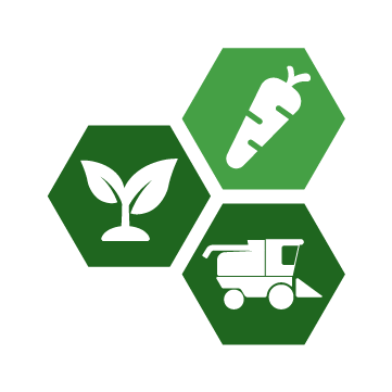
Design tailored to crop and available machinery

The time is now

Take your crop production to the next level